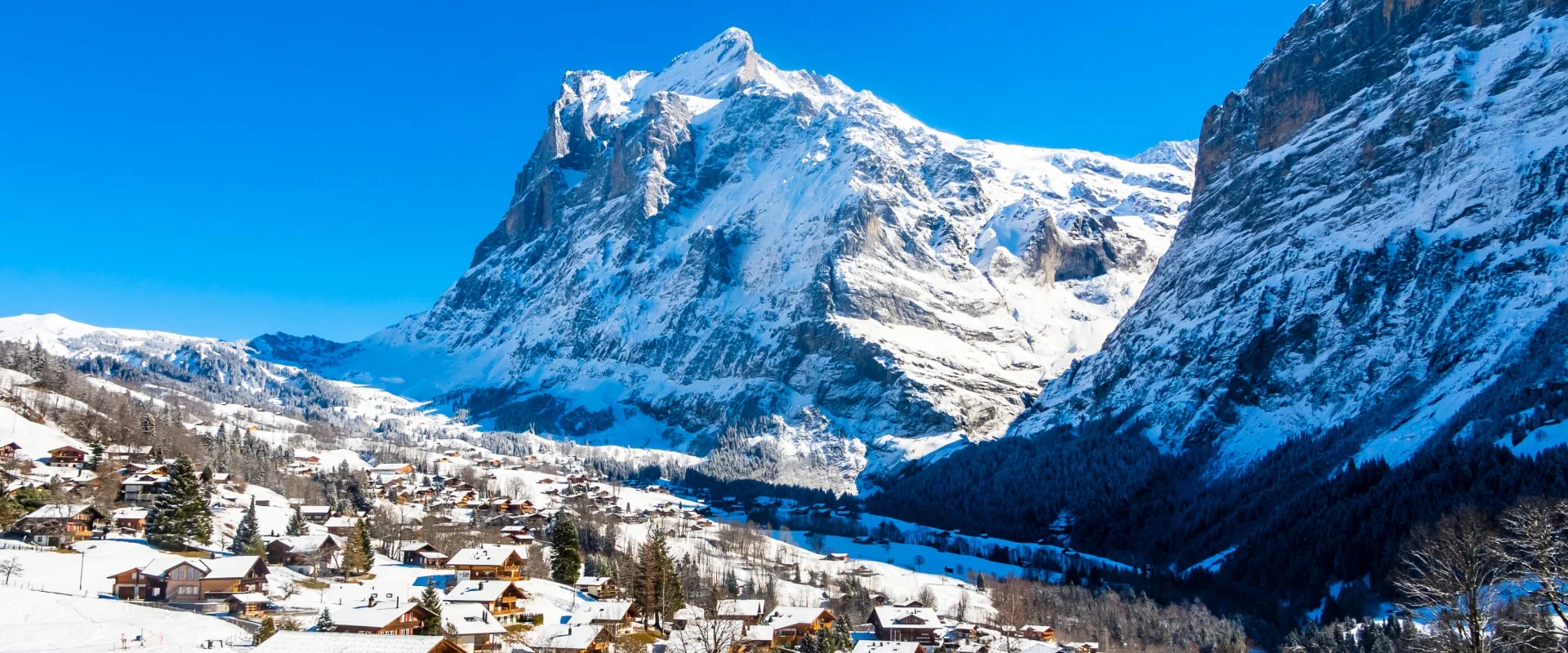
Winter view of Grindelwald village with the towering snow-covered Eiger mountain in the backgroundWinter view of Grindelwald village with the towering snow-covered Eiger mountain in the background

Grindelwald piste map

Detailed piste map of Grindelwald highlighting top ski runs and lifts
7th January, 2025
2 min read time

Grindelwald is an integral part of the extensive Jungfrau ski area, offering a combined total of over 591 km of ski runs. Plan your perfect ski holiday in advance: download the latest Grindelwald piste map to familiarize yourself with the trails and lifts ahead of time.

Grindelwald ski resort piste map

Plan your ski holiday ahead with our detailed piste map. Download it here, or pick up a copy at ticket offices and information points throughout Grindelwald.
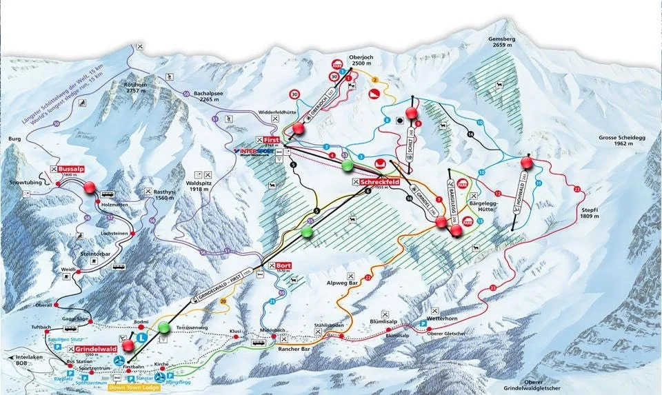
Grindelwald ski resort piste map

Grindelwald piste map downloads

Download the latest Grindelwald piste map

  1. Grindelwald piste map pdf
  2. Grindelwald piste map jpg

Grindelwald in brief

  • Resort elevation: 1,050 m
  • Highest lift: 2,950 m
  • Vertical drop: 1,900 m
  • Number of pistes: 55
  • Pistes total lenght: 213 km
  • Ski slopes direction: N, E, S, W
  • Type of pistes: 16 blue, 24 red, 15 black
  • Cross country: 17 km
  • Total lifts: 20
  • Longest ski run: 12 km

View all our resorts in Switzerland

Zermatt - Verbier - St. Moritz - Grindelwald - Crans-Montana - Davos - Saas Fee - Nendaz - Engelberg - Arosa - Laax

Related guides